 Su Arıtma Cihazları
 Filtre Setleri
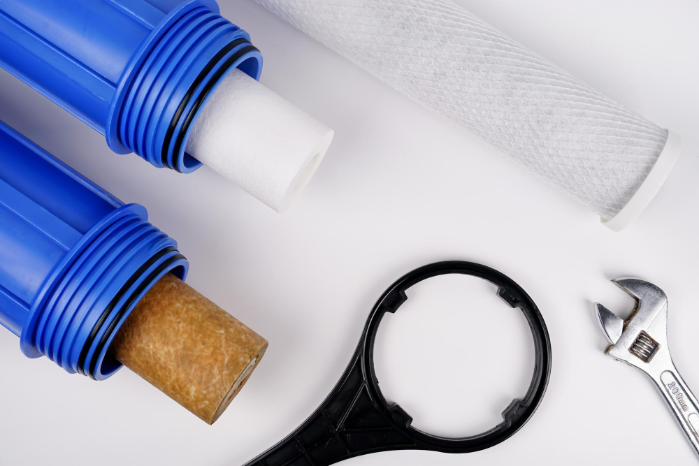
 Yedek Parçalar
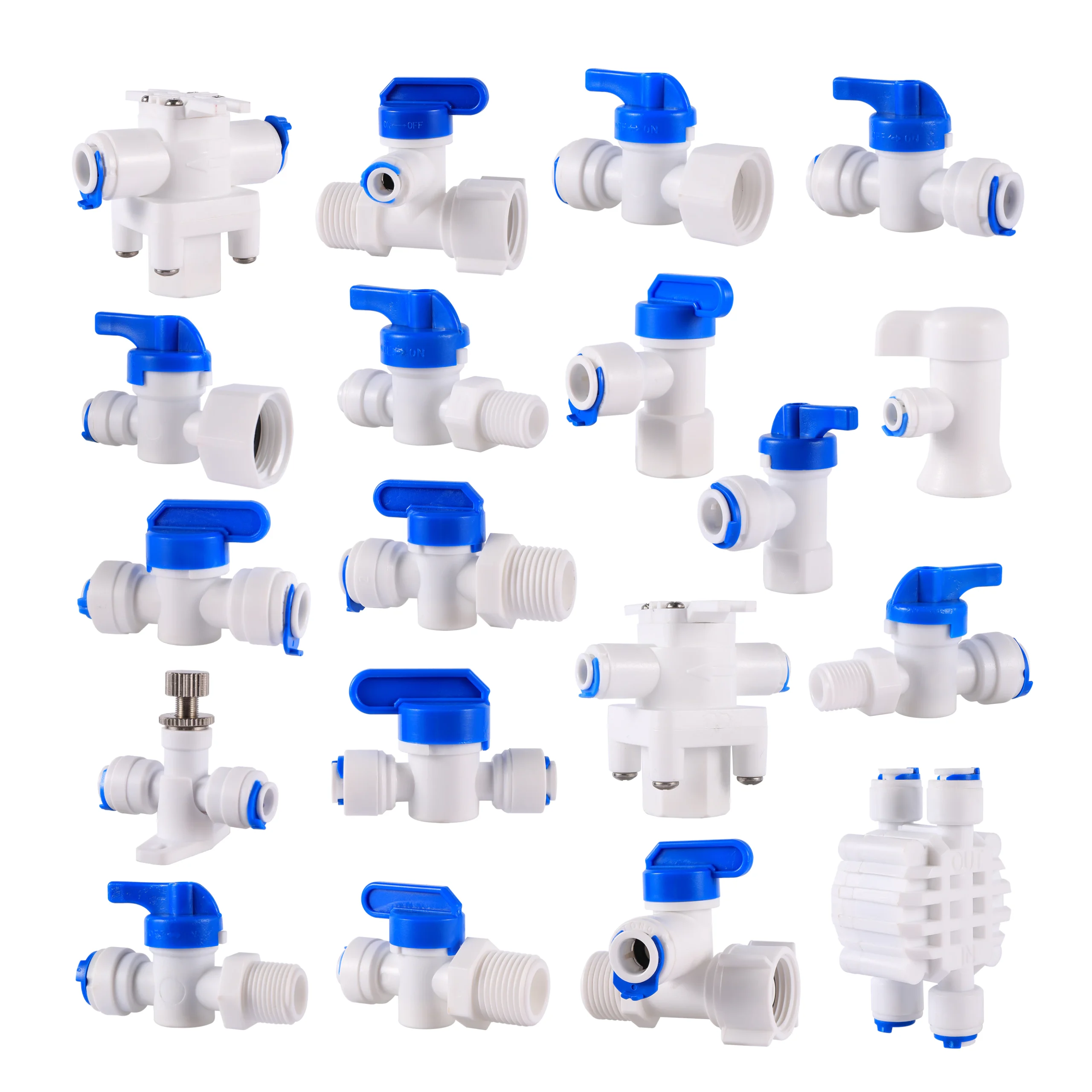

Hydrology deals with that part of the water cycle from the arrival of water at the land surface as precipitation to its eventual loss from the land either by evaporation or transpiration back to the atmosphere or by surface and subsurface flow to the sea. It is thus primarily concerned with waters close to the land surface. It includes various component disciplines of a more specialized nature. Hydraulics is concerned with the mechanics and dynamics of water in its liquid state. Hydrography is the description and mapping of the bodies of water of Earth’s surface (including the oceans), with a particular concern for navigation charts. Hydrometry involves measurements of surface water, particularly precipitation and streamflow. Hydrometeorology focuses on water in the lower boundary layer of the atmosphere. Groundwater hydrology and hydrogeology have to do with subsurface water in the saturated zone, while soil water physics involves the study of subsurface water in the unsaturated zone. Engineering hydrology is concerned with the design of man-made structures that control the flow and use of water.
Underlying all the hydrologic sciences is the concept of water balance, an expression of the water cycle for an area of the land surface in terms of conservation of mass. In a simple form the water balance may be expressed as S = P − Q − E − G,
where S is the change of water storage in the area over a given time period, P is the precipitation input during that time period, Q is the stream discharge from the area, E is the total of evaporation and transpiration to the atmosphere from the area, and G is the subsurface outflow. Most hydrologic studies are concerned with evaluating one or more terms of the water balance equation. Because of the difficulties in quantifying the movement of water across the boundaries of an area under study, the water balance equation is most easily applied to an area draining to a particular measurement point on a stream channel. This area is called a catchment (or sometimes a watershed in the United States). The line separating adjacent catchments is known as a topographical divide, or simply a divide. The following sections describe the study of the different elements of the catchment water balance and the way in which they affect the response of catchments over time under different climatic regimes.
Evaluation of the catchment water balance
Precipitation
Precipitation results from the condensation of water from the atmosphere as air is cooled to the dew point, the temperature at which the air becomes saturated with respect to water vapour. The cooling process is usually initiated by uplift of the air, which may result from a number of causes, including convection, orographic effects over mountain ranges, or frontal effects at the boundaries of air masses of different characteristics. Condensation within the atmosphere requires the presence of condensation nuclei to initiate droplet formation. Some of the condensate may be carried considerable distances as cloud before being released as rain or snow, depending on the local temperatures. Some precipitation in the form of dew or fog results from condensation at or near the land surface. In some areas, such as the coastal northwest of the United States, dew and fog drip can contribute significantly to the water balance. The formation of hail requires a sequence of condensation and freezing episodes, resulting from successive periods of uplift. Hailstones usually show a pattern of concentric rings of ice as a result.
Direct measurements of precipitation are made by a variety of gauges, all of which consist of some form of funnel that directs the infalling water to some storage container. Storage gauges simply store the incident precipitation, and the accumulated water is usually measured on a daily, weekly, or monthly basis. Recording gauges allow rates of precipitation to be determined.
Rainfall volumes are usually converted to units of depth—volume per unit area. Measurements obtained from different types of rain gauges are not directly comparable because of varying exposure, wind, and splash effects. The most accurate type of gauge is the ground-level gauge, in which the orifice of the gauge is placed level with the ground surface and surrounded by an antisplash grid. Rain gauge catches decrease as the orifice is raised above the ground, particularly in areas subject to high winds. In areas of significant snowfall, however, it may be necessary to raise the rain gauge so that its orifice is clear of the snow surface. Various shields for the gauge orifice have been tried in an effort to offset wind effects. Wind effects are greater for snow than for rain and for small drops or light rainfall than for large drops.
